Marine Equipment & Accessories * | C-Map Max-N Na-N021 – Canada North & East
$185.99 $97.99
Marine Equipment & Accessories * | C-Map Max-N Na-N021 – Canada North & East

Max-N Wide Cartography F/Lowrance, Simrad Yachting & B&G Chartplotters And Multifunction Displays
Max-N Wide Provides Additional C-Map Features Such As Harbor, Detailed Marina Charts And Coverage Of Inland Rivers And Lakes. When You Choose C-Map You Get The Best Charts, Using The Most Reliable Sources Around The Globe, From A Company Committed To Safe Navigation.
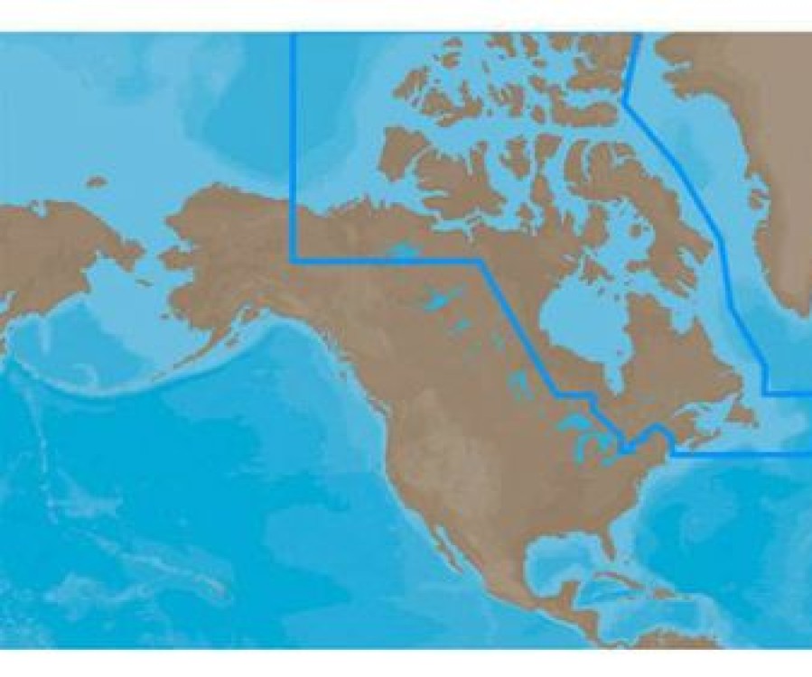
C-Map Max-N Na-N021 – Canada North & East Coverage:
Coverage Of The Arctic And Atlantic Coasts Of Canada Including Hudson Bay, Newfoundland, The Gulf Of St. Lawrence, Nova Scotia And The Bay Of Fundy.
Also Includes Coverage Of The St. Lawrence River And Eastern Lake Ontario, Mackenzie River, Great Bear Lake And All Of Passamaquoddy Bay.
More Features And Specifications</P
Be the first to review “Marine Equipment & Accessories * | C-Map Max-N Na-N021 – Canada North & East” Cancel reply
Related products
Marine Equipment & Accessories
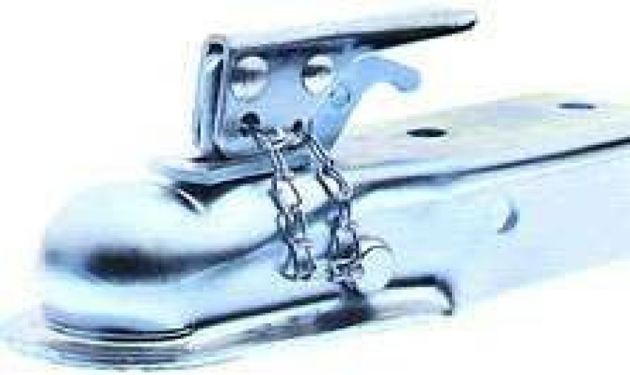
Marine Equipment & Accessories * | Dutton Lainson Company Dutton-Lainson Quick-Lock Class 2 Couplers
Marine Equipment & Accessories
Marine Equipment & Accessories * | Ce Smith C.E. Smith 29561 12 Side Guide Roller
Marine Equipment & Accessories
Marine Equipment & Accessories * | Immi Boatbuckle Kwik-Lok Gunwale Tie Downs
Marine Equipment & Accessories
Marine Equipment & Accessories
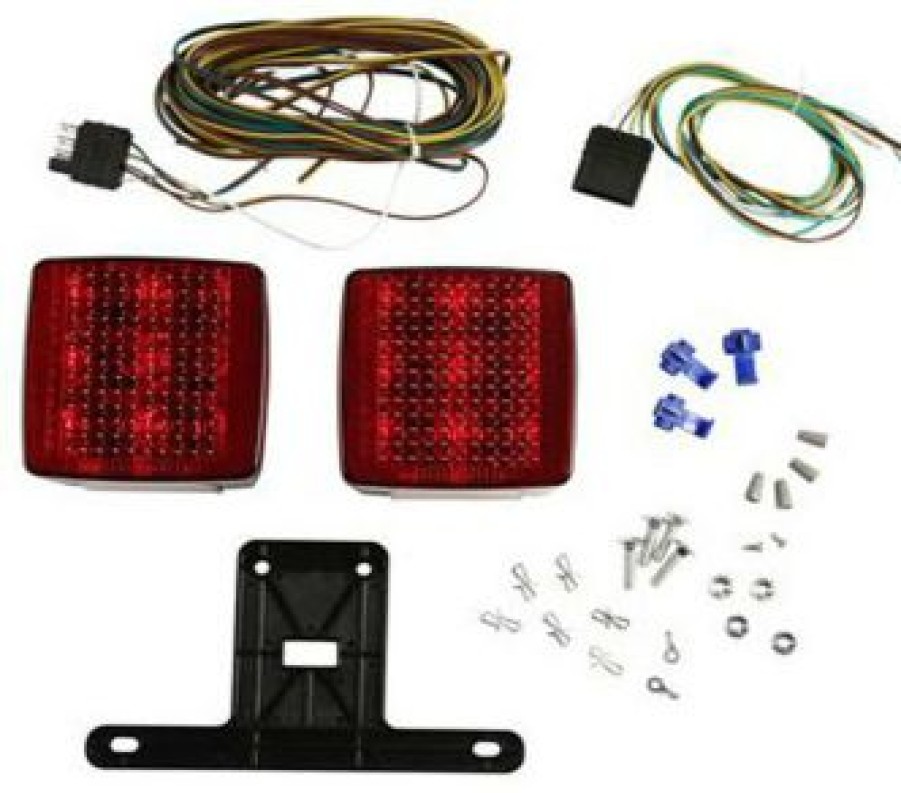
Marine Equipment & Accessories * | Attwood 14065-7 Led 4 In. Submersible Trailer Light Kit
Marine Equipment & Accessories
Marine Equipment & Accessories * | Bearing Buddy Inc. Bearing Buddy #1980 Trailer Bearing Protector
Marine Equipment & Accessories
Marine Equipment & Accessories * | Americana Tire Load Star 14 Tire And Wheel Assemblies
Marine Equipment & Accessories
Marine Equipment & Accessories * | J.T. Brooks Keychain Tire Deflator


Reviews
There are no reviews yet.