Marine Equipment & Accessories * | Maptech Chartkit Books
$126.99 $88.89
Marine Equipment & Accessories * | Maptech Chartkit Books

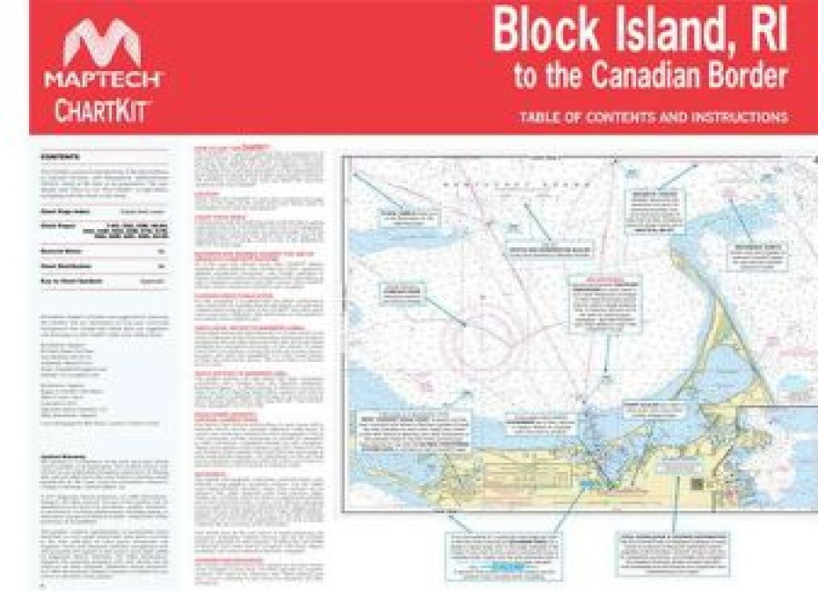
Used By Generations Of Boaters, Maptech Chartkit Books Are Full-Color Reproductions Of U.S. Government And Private Charts Spiral Bound Into Popular Cruising Regions. The Convenient-Sized Books Are Large Enough To Allow For Manual Plotting, Yet Small Enough To Sit On Your Nav-Station Or Lap.
- Gps Ready – Easy To Use With Your Gps. Most Charts Include One-Minute Lat./Long. Grids To Make Vessel Positioning A Breeze, And Major Navigation Aids Are Identified With Named Gps Waypoints.
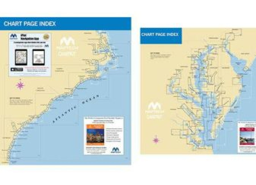
- Small And Large Scale Charts – Chartkits Include Small-Scale, Wide Area Charts As Well As Large-Scale, Detailed Charts Of Harbors And Approaches. The Chart Page Index (Inside Front Cover) And “Go-To” Page Numbers Make It Simple To Quickly Find The Chart You Want.
- Pre-Plotted Courses – Maptech’S Navigation Editors Add Magnetic Courses Between Major Navigation Aids With Distances In Nautical Miles. Chartkits Are Also Designed To Help You Do The Calculations Yourself. Each Page Includes A Compass Rose With Annual Increase In Variation And Complete Scale Information.
- Aerial Photos – Color Aerial Photos Of Harbors And Anchorages Help You Know What To Expect Before You Get There.
- Companion Cd – It’S All Here… Digital Charts And The Software Tools To Use Them. And The Great Thing Is The Digital Charts Are The Same Identical Charts With Gps Waypoints And Course Lines ? Just Like In The Chartbooks. </Ul
Be the first to review “Marine Equipment & Accessories * | Maptech Chartkit Books” Cancel reply
Related products
Marine Equipment & Accessories
Marine Equipment & Accessories
Marine Equipment & Accessories * | Immi Boatbuckle Kwik-Lok Gunwale Tie Downs
Marine Equipment & Accessories
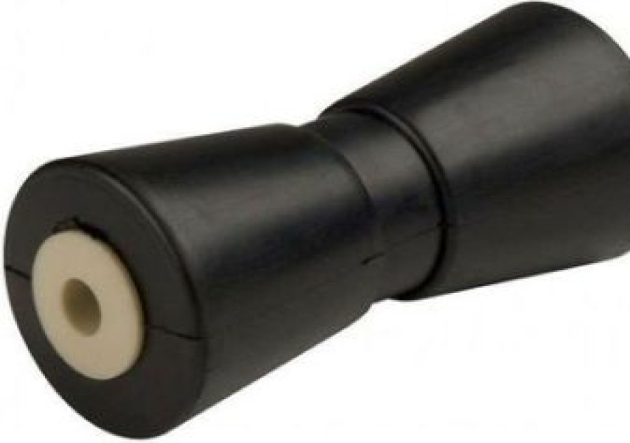
Marine Equipment & Accessories * | Ce Smith C.E. Smith 29502 8 Black Rubber Keel Roller
Marine Equipment & Accessories
Marine Equipment & Accessories
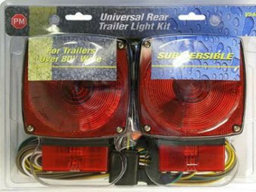
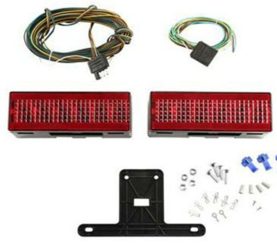
Marine Equipment & Accessories * | Attwood 14064-7 Led Low Profile Trailer Light Kit
Marine Equipment & Accessories
Marine Equipment & Accessories * | Cequent Performance Fulton Xp10 0101 Marine And Recreational Jack
Marine Equipment & Accessories
Marine Equipment & Accessories
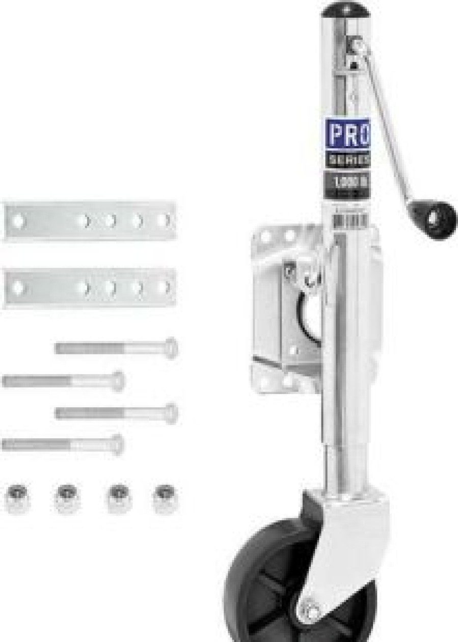
Marine Equipment & Accessories * | Cequent Performance Fulton Ej10000101 Pro Series Bolt-On Jack






Reviews
There are no reviews yet.