
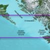

Garmin Bluechart G2 Vision Labrador Coast Sd Card: Chart Vca013R – Labrador Coast Covers The Eastern And Southern Coasts Of New Foundland From St. Barbe In The Strait Of Belle Isle To Hermitage Bay, Including Bonavista And St. John’S. Also Covers The Labrador Coast From Forteau Bay To Nain Bay, Including Lake Melville.
Garmin Bluechart G2 Vision Has Set The Industry Standard In Premier Electronic Chartplotter-Based Marine Charting. Bluechart G2 Vision Offers The High Detail Charting Of Bluechart G2 Plus High-Resolution Satellite Imagery, Above And Below Water 3-D Perspective, Auto Guidance Technology, Aerial Photographs For Real World Reference, And Coastal Roads With Points Of Interest.
Enable The Full Functionality Of Garmin’S New Line Of Chartplotters – The Gpsmap 5Xxx Series, The Gpsmap 4Xxx Series, The Gpsmap 5X5 Series, The Gpsmap 5X0 Series And The Gpsmap 4X0 – With The Addition Of A Bluechart G2 Vision Sd Card.</P
Be the first to review “Marine Equipment & Accessories * | Garmin Bluechart G2 Vision Labrador Coast Sd Card”
Related products
Marine Equipment & Accessories
Marine Equipment & Accessories
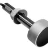
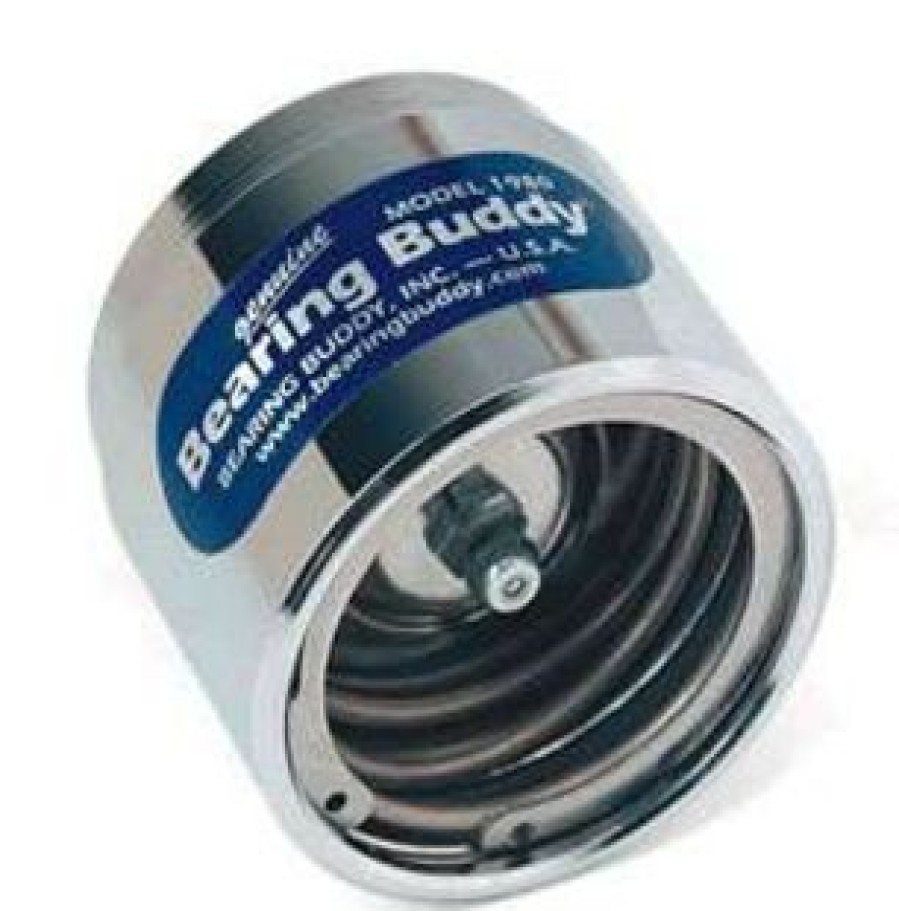
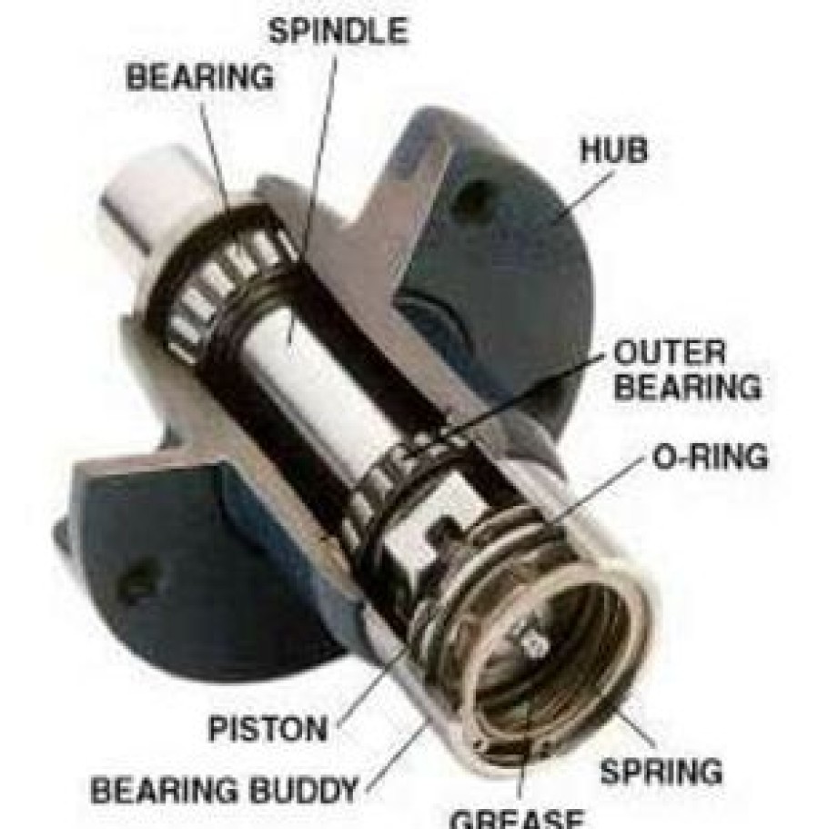
Marine Equipment & Accessories * | Bearing Buddy Inc. Bearing Buddy #1980 Trailer Bearing Protector
Marine Equipment & Accessories
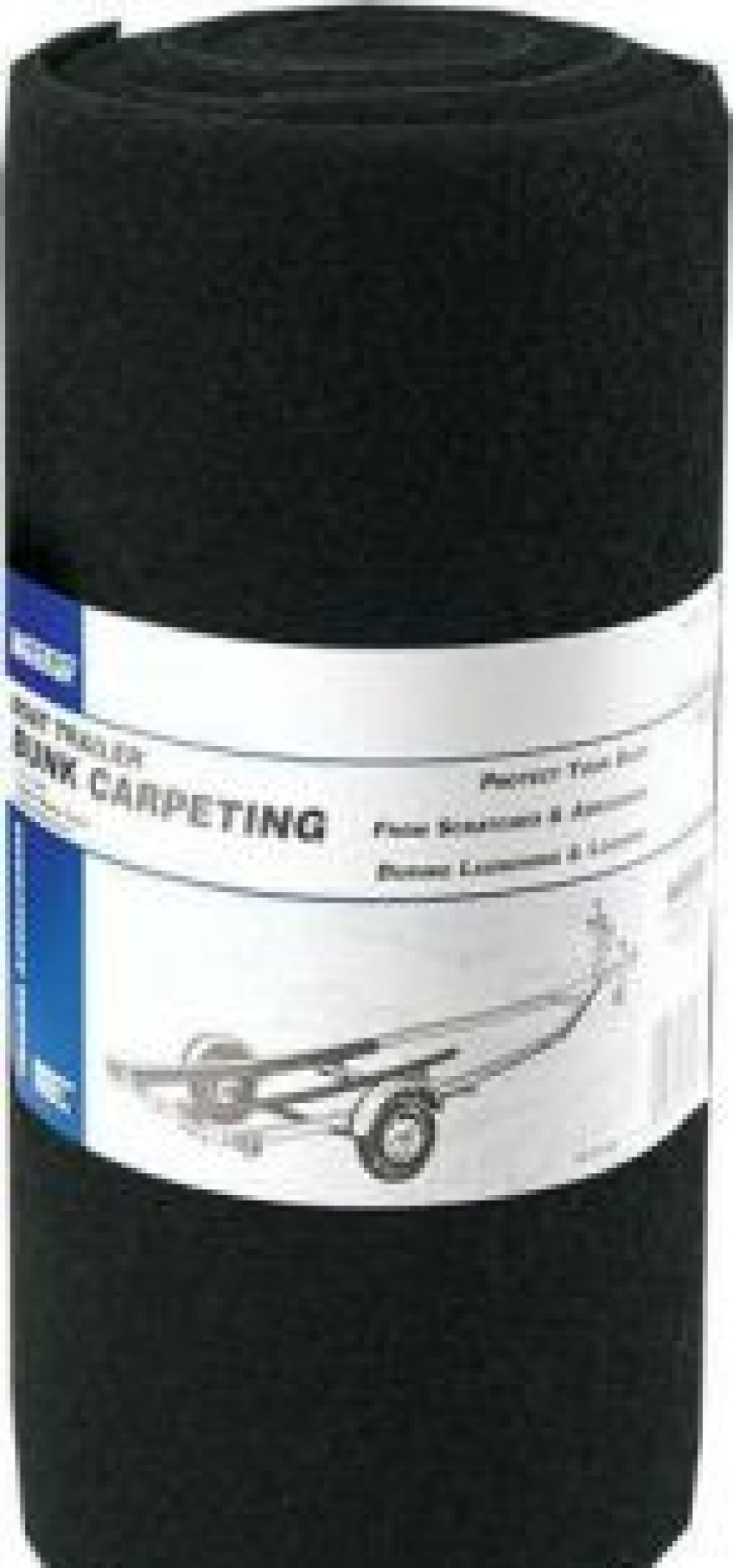
Marine Equipment & Accessories * | Cequent Performance Fulton 8012 Bunk Carpeting

Marine Equipment & Accessories
Marine Equipment & Accessories * | Dutton Lainson Company Dutton-Lainson 3400 Swivel Tongue Jack
Marine Equipment & Accessories
Marine Equipment & Accessories
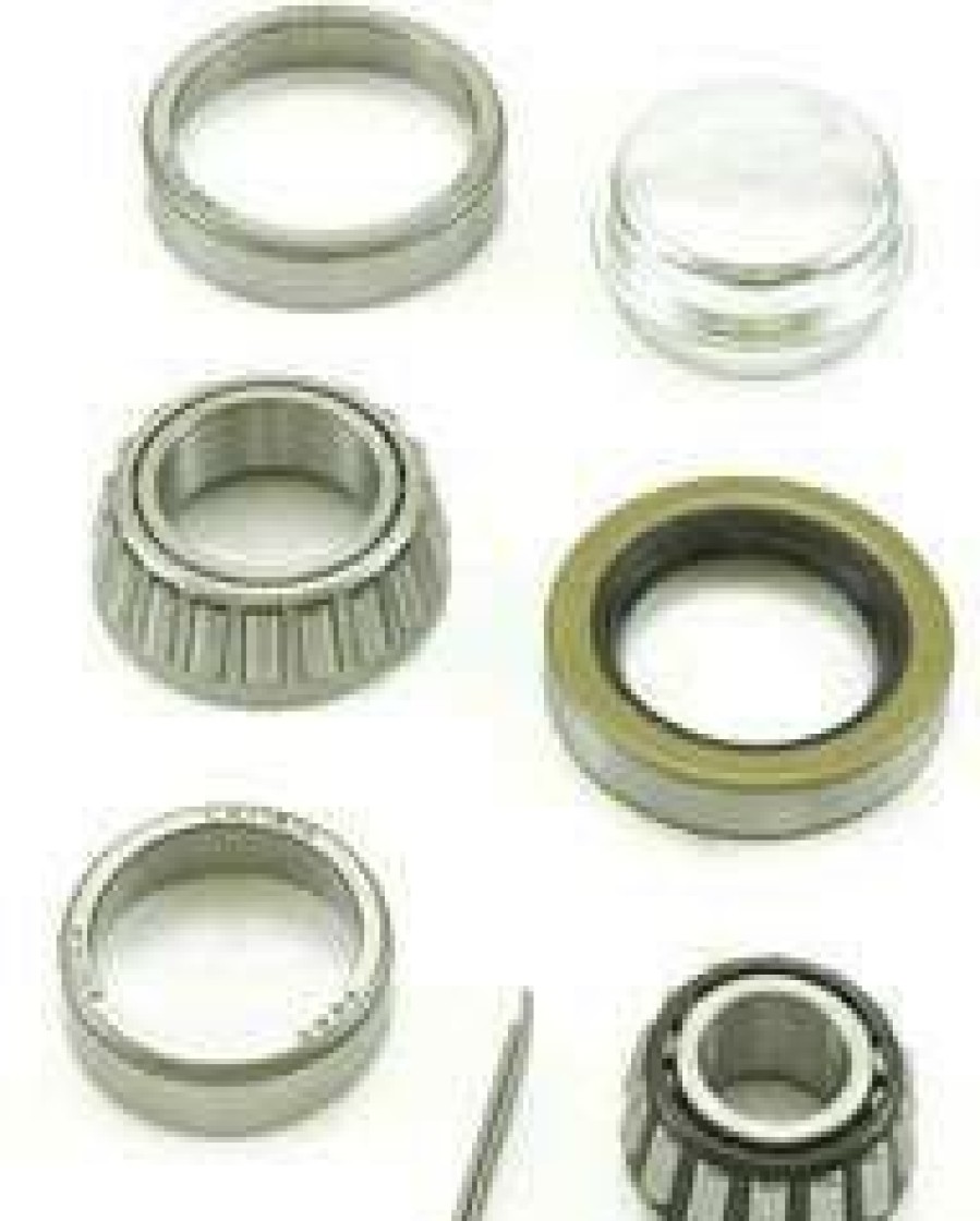
Marine Equipment & Accessories * | Dutton Lainson Company Dutton-Lainson Bearing Sets
Marine Equipment & Accessories
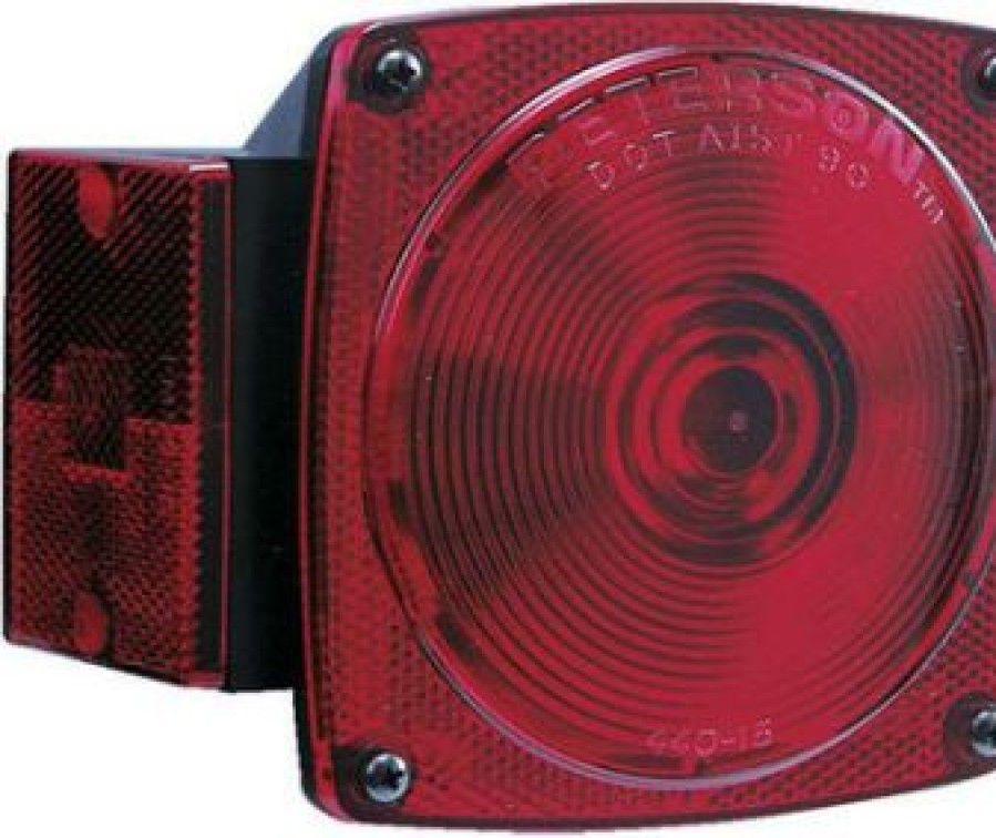
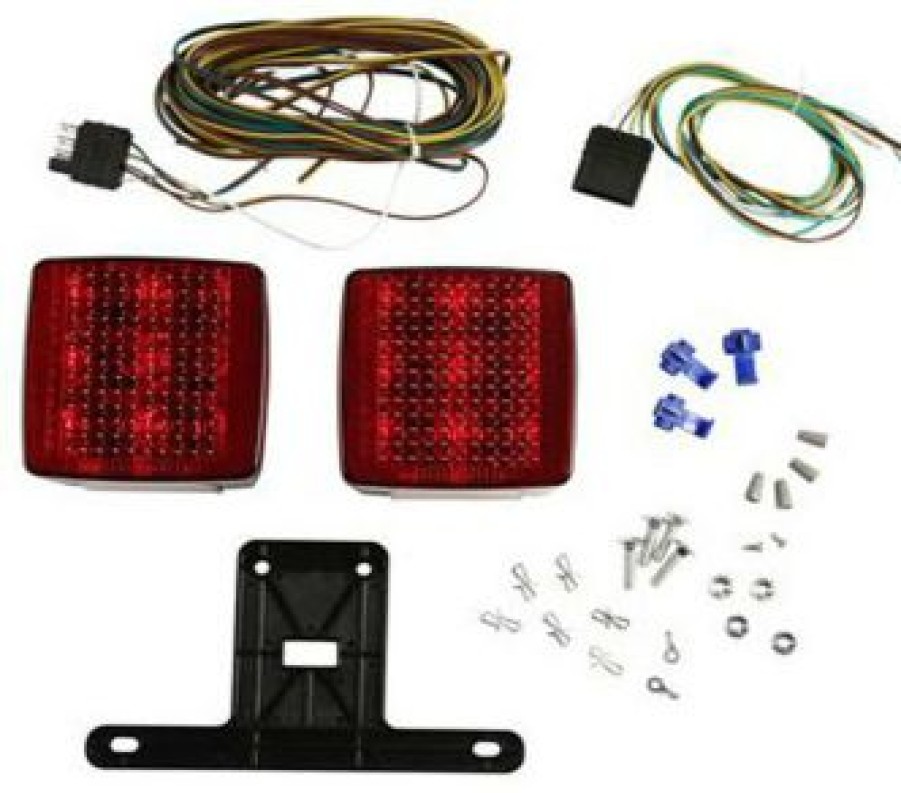
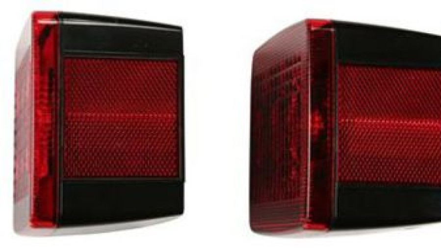
Marine Equipment & Accessories * | Attwood 14065-7 Led 4 In. Submersible Trailer Light Kit
Marine Equipment & Accessories
Marine Equipment & Accessories * | Ce Smith C.E. Smith 29561 12 Side Guide Roller
Reviews
There are no reviews yet.